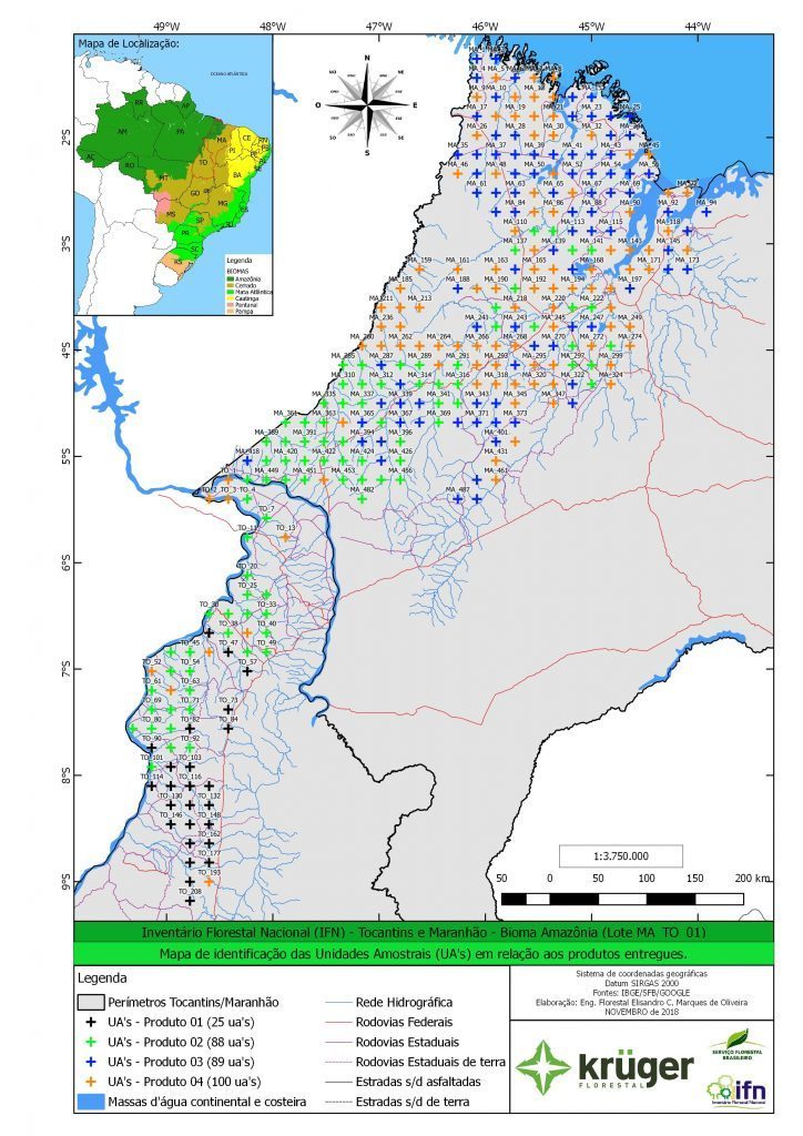
Inventário Florestal Nacional - Maranhão
The state of Maranhão includes three different biomes, which contributes to a high diversity of landscapes: the Cerrado and its different phytophysiognomies from the open ones (fields) to closed woods; the Amazon with characteristic vegetation of tall trees, floodplain forests in periodically flooded plains and permanently flooded igapó forests; and a small portion of the Caatinga biome, characterized by the presence of bushy vegetation with twisted branches and deep roots, and cacti and bromeliads.
According to Embrapa (2016), the Cerrado biome (64%), Amazonia (35%) and Caatinga (1%) make up a mosaic of landscapes rich in biodiversity. Based on the integrated analysis of information on the phyto-ecological regions, biomes, conservation areas and priority areas for biodiversity conservation, 76% of the state of Maranhão was considered to be vegetation areas, mainly Secondary Vegetation (26%), Savana (23%) and Semidecidual Seasonal Forest (13%). Regarding the preservation of the remnants, although 19% of the State is protected by conservation units, less than 5% can be considered as integral protection areas and are located outside the Amazon biome and the Legal Amazon. Priority areas of conservation, especially those of extremely high importance, are not represented in conservation units of integral protection.
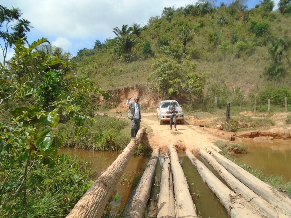
Amazônia Maranhense has 81,208.40 km², representing 24.46% of the state's territory (IBGE, 2002), in which 62 municipalities are located. Maranhão is the state of the Legal Amazon that has the lowest degree of occupation of protected area space, presents a high degree of deforestation and forest fragmentation and one of the lowest human development indexes.